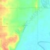
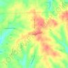
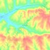
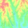
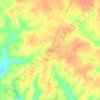
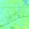
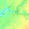
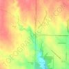
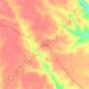
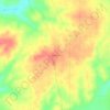
Carte topographique Daviess County
Cliquez sur la carte pour afficher l’altitude.
Daviess County
The terrain of Daviess County is hilly, with its area completely devoted to agriculture or urban development. Its highest elevation (740'/266 meters ASL) is a rise one mile (1.6 km) NNE of Farlen. The county is drained by the White River flowing to the southwest, whose two main forks (East White and West White) come together at the county's SW corner. The county's west boundary is defined by the West White River's course and its south boundary is defined by the East White River's course; their confluence defines the county's corner point.
À propos de cette carte
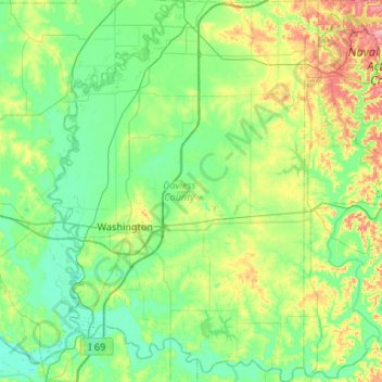
Nom : Carte topographique Daviess County, altitude, relief.
Lieu : Daviess County, Indiana, United States (38.49037 -87.27942 38.90418 -86.90423)
Altitude moyenne : 154 m
Altitude minimum : 123 m
Altitude maximum : 251 m
Autres cartes topographiques
Cliquez sur une carte pour visualiser sa topographie, son altitude et son relief.
Indianapolis
United States > Indiana > Indianapolis
Indianapolis is within the Tipton Till Plain, a flat to gently sloping terrain underlain by glacial deposits known as till. The lowest point in the city is about 650 feet (198 m) above mean sea level, with the highest natural elevation at about 900 feet (274 m) above sea level. Few hills or short ridges, known…
Altitude moyenne : 241 m