Géolocaliser

Carte topographique Spencerville

Carte interactive

Cliquez sur la carte pour afficher l’altitude.

À propos de cette carte

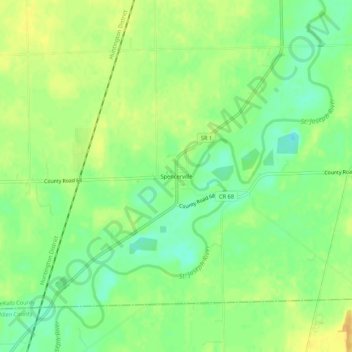
Nom : Carte topographique Spencerville, altitude, relief.

Lieu : Spencerville, DeKalb County, Indiana, 46788, United States (41.26311 -84.94191 41.30311 -84.90191)

Altitude moyenne : 249 m

Altitude minimum : 234 m

Altitude maximum : 262 m

Autres cartes topographiques

Cliquez sur une carte pour visualiser sa topographie, son altitude et son relief.

Corunna

United States > Indiana > DeKalb County

Corunna, DeKalb County, Indiana, United States

Altitude moyenne : 295 m

Altona

United States > Indiana > DeKalb County

Altona, DeKalb County, Indiana, United States

Altitude moyenne : 271 m

Ashley

United States > Indiana > DeKalb County

Ashley, DeKalb County, Indiana, 46705, United States

Altitude moyenne : 303 m

Butler

United States > Indiana > DeKalb County

Butler, DeKalb County, Indiana, United States

Altitude moyenne : 265 m

St. Joe

United States > Indiana > DeKalb County

St. Joe, DeKalb County, Indiana, United States

Altitude moyenne : 250 m

Waterloo

United States > Indiana > DeKalb County

Waterloo, DeKalb County, Indiana, United States

Altitude moyenne : 276 m

Stafford Center

United States > Indiana > DeKalb County

Stafford Center, DeKalb County, Indiana, 46721, United States

Altitude moyenne : 258 m

Garrett

United States > Indiana > DeKalb County

Garrett, DeKalb County, Indiana, 46738, United States

Altitude moyenne : 270 m