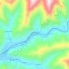
Carte topographique Lynch
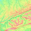
Cliquez sur la carte pour afficher l’altitude.
Lynch
Lynch is located in eastern Harlan County at 36°57′54″N 82°55′00″W / 36.965133°N 82.916569°W / 36.965133; -82.916569 (36.965133, -82.916569), in the valley of Looney Creek. Lynch is the nearest city to Kentucky's highest point, Black Mountain (4,145 ft or 1,263 m). Sitting at an elevation of 1,716 feet (523 m) above sea level.
À propos de cette carte
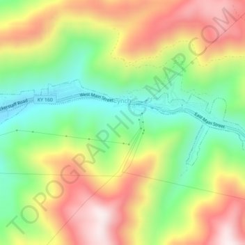
Nom : Carte topographique Lynch, altitude, relief.
Lieu : Lynch, Harlan County, Kentucky, United States (36.95704 -82.93565 36.96919 -82.89238)
Altitude moyenne : 770 m
Altitude minimum : 487 m
Altitude maximum : 1’102 m
Autres cartes topographiques
Cliquez sur une carte pour visualiser sa topographie, son altitude et son relief.
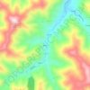
Harlan
United States > Kentucky > Harlan County > Harlan > Harlan
Harlan is located in west-central Harlan County at 36°50′29″N 83°19′12″W / 36.84139°N 83.32000°W / 36.84139; -83.32000 (36.841487, -83.320066), at the junction of the Clover Fork and Martin's Fork rivers. The Clover Fork continues north 1.5 miles (2.4 km) to join the Poor Fork, forming the…
Altitude moyenne : 512 m