
Carte topographique Namgyal
Carte interactive
Cliquez sur la carte pour afficher l’altitude.
À propos de cette carte
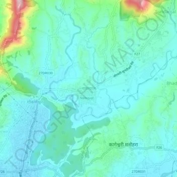
Nom : Carte topographique Namgyal, altitude, relief.
Lieu : Namgyal, Gokarneshwar Municipality, Kathmandu, 46603, Nepal (27.72046 85.37953 27.76046 85.41953)
Altitude moyenne : 1’366 m
Altitude minimum : 1’317 m
Altitude maximum : 1’586 m
Autres cartes topographiques
Cliquez sur une carte pour visualiser sa topographie, son altitude et son relief.