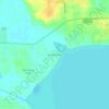
Carte topographique Montverde
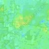
Cliquez sur la carte pour afficher l’altitude.
Montverde
Montverde is located in southeastern Lake County at 28°35′58″N 81°40′34″W / 28.599476°N 81.676221°W / 28.599476; -81.676221, on the southwest shore of Lake Apopka. The town sits on hills that rise 50 to 100 feet (15 to 30 m) above the elevation of the lake. It is 18 miles (29 km) south of Tavares, the Lake county seat, and 24 miles (39 km) northwest of Orlando.
À propos de cette carte
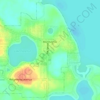
Nom : Carte topographique Montverde, altitude, relief.
Lieu : Montverde, Lake County, Florida, 34756, United States (28.58523 -81.69418 28.61090 -81.66499)
Altitude moyenne : 27 m
Altitude minimum : 13 m
Altitude maximum : 58 m
Autres cartes topographiques
Cliquez sur une carte pour visualiser sa topographie, son altitude et son relief.






Lisbon
United States > Florida > Lake County
Lisbon has low rolling landscape with elevations ranging from 30 ft to 60 ft.
Altitude moyenne : 22 m