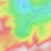
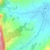
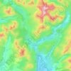
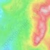
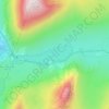
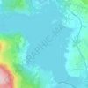
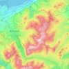
Carte topographique Cwm Idwal
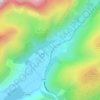
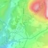
Cliquez sur la carte pour afficher l’altitude.
Cwm Idwal
Cwm Idwal is a cirque (or corrie) in the Glyderau range of mountains in northern Snowdonia, the national park in the mountainous region of North Wales. Its main interest is to hill walkers and rock climbers, but it is also of interest to geologists and naturalists, given its combination of altitude (relatively high in UK terms), aspect (north-facing) and terrain (mountainous and rocky). In a 2005 poll conducted by Radio Times, Cwm Idwal was ranked the 7th greatest natural wonder in Britain.
À propos de cette carte
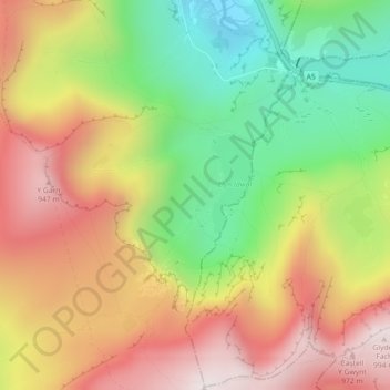
Nom : Carte topographique Cwm Idwal, altitude, relief.
Lieu : Cwm Idwal, Llandygai, Gwynedd, Wales, LL57 3LZ, United Kingdom (53.10476 -4.04013 53.12476 -4.02013)
Altitude moyenne : 600 m
Altitude minimum : 205 m
Altitude maximum : 989 m
Autres cartes topographiques
Cliquez sur une carte pour visualiser sa topographie, son altitude et son relief.
Morfa Harlech National Nature Reserve
United Kingdom > Wales > Gwynedd > Harlech
Altitude moyenne : 3 m
Parc Tan-y-Bwlch
United Kingdom > Wales > Gwynedd > Mynydd Llandygái > Pen Y Bwlch
Altitude moyenne : 293 m


Carneddau
United Kingdom > Wales > Gwynedd > Abergwyngregyn
The plants growing on the Carneddau need to be extremely hardy to withstand the snow, frosts, and gales they will encounter during the year and those found by sheltered streams in the valleys are very different from those clinging to crevices on windswept rocks. Sheep graze the mountains and impact the…
Altitude moyenne : 408 m