
Carte topographique Llyn Tegid
Cliquez sur la carte pour afficher l’altitude.
À propos de cette carte
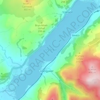
Nom : Carte topographique Llyn Tegid, altitude, relief.
Lieu : Llyn Tegid, Llangywer, Gwynedd, Pays de Galles, Royaume-Uni (52.86422 -3.65308 52.90608 -3.59308)
Altitude moyenne : 246 m
Altitude minimum : 158 m
Altitude maximum : 483 m
Autres cartes topographiques
Cliquez sur une carte pour visualiser sa topographie, son altitude et son relief.