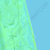
Carte topographique Casa Cola
Cliquez sur la carte pour afficher l’altitude.
À propos de cette carte
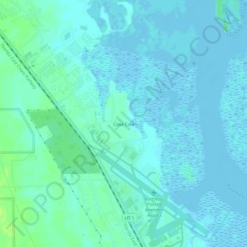
Nom : Carte topographique Casa Cola, altitude, relief.
Lieu : Casa Cola, Saint Johns County, Florida, United States (29.95219 -81.36619 29.99219 -81.32619)
Altitude moyenne : 3 m
Altitude minimum : -3 m
Altitude maximum : 12 m
Autres cartes topographiques
Cliquez sur une carte pour visualiser sa topographie, son altitude et son relief.

Saint Augustine
United States > Florida > Saint Johns County
Saint Augustine is characterized by a diverse topography that features a mix of coastal and inland landscapes. Situated along the eastern coast of the state, the city lies on a narrow peninsula bordered by the Atlantic Ocean to the east and the Matanzas River to the west. The area includes sandy beaches that…
Altitude moyenne : 5 m

Butler Beach
United States > Florida > Saint Johns County > Saint Augustine Beach
Altitude moyenne : 2 m


Butler Beach
United States > Florida > Saint Johns County > Saint Augustine Beach
Altitude moyenne : 3 m



Butler Beach
United States > Florida > Saint Johns County > Saint Augustine Beach
Altitude moyenne : 3 m

DeLeon Shores Park
United States > Florida > Saint Johns County > Ponte Vedra Beach > Palm Valley
Altitude moyenne : 4 m