
Carte topographique Hemkund
Cliquez sur la carte pour afficher l’altitude.
À propos de cette carte
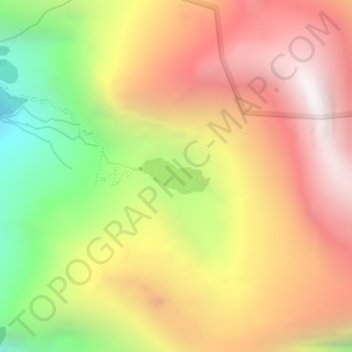
Nom : Carte topographique Hemkund, altitude, relief.
Lieu : Hemkund, Joshimath Tehsil, Chamoli, Uttarakhand, India (30.69735 79.61546 30.70015 79.62149)
Altitude moyenne : 4’367 m
Altitude minimum : 3’475 m
Altitude maximum : 5’094 m
Autres cartes topographiques
Cliquez sur une carte pour visualiser sa topographie, son altitude et son relief.
Ghangaria
India > Uttarakhand > Joshimath Tehsil
Ghangaria is a village in Uttarakhand state of India. It is located at an altitude of 3049 meters.
Altitude moyenne : 3’740 m