
Carte topographique Mazayjan
Carte interactive
Cliquez sur la carte pour afficher l’altitude.
À propos de cette carte
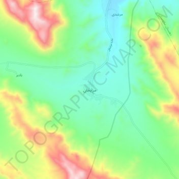
Nom : Carte topographique Mazayjan, altitude, relief.
Lieu : Mazayjan, بخش مزایجان, Bavanat County, Fars Province, Iran (30.25230 53.76239 30.33230 53.84239)
Altitude moyenne : 2’330 m
Altitude minimum : 2’024 m
Altitude maximum : 2’954 m