
Carte topographique Bay
Cliquez sur la carte pour afficher l’altitude.
À propos de cette carte
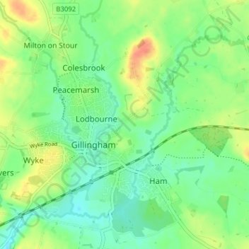
Nom : Carte topographique Bay, altitude, relief.
Lieu : Bay, Gillingham, Dorset, England, SP8 4EW, United Kingdom (51.02170 -2.28866 51.06170 -2.24866)
Altitude moyenne : 82 m
Altitude minimum : 65 m
Altitude maximum : 109 m