
Carte topographique Lake Ballinger
Carte interactive
Cliquez sur la carte pour afficher l’altitude.
Lake Ballinger
Lake Ballinger is a natural lake formed by the melting of the Puget Sound lobe of the Cordilleran Ice Sheet. It is fed primarily by Hall Creek, but is also fed by groundwater flowing from nearby Echo Lake as well as by surface runoff. It is just west of Interstate 5 in Mountlake Terrace and immediately north of the boundary between Snohomish and King Counties, three miles north of Seattle. Lying in the Puget Sound lowlands (around 2.7 miles east of Puget Sound itself), its surface elevation is 292 feet.
À propos de cette carte
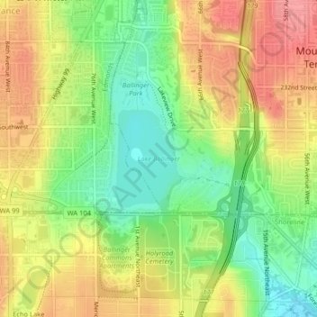
Nom : Carte topographique Lake Ballinger, altitude, relief.
Altitude moyenne : 116 m
Altitude minimum : 71 m
Altitude maximum : 159 m