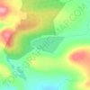
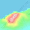
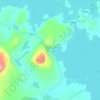
Carte topographique Killala
Cliquez sur la carte pour afficher l’altitude.
Killala
The Roman Catholic Diocese of Killala (Alladenis in Latin) is one of the five suffragan sees of the ecclesiastical Province of Tuam, comprising the north-western part of the County Mayo with the Barony of Tireragh in the County Sligo. In all there are 22 parishes, some of which, bordering on the Atlantic Ocean, consist mostly of wild moorland, sparsely inhabited. Lewis's Topographical Dictionary sets down the length of the diocese as 45 miles (72 km), the breadth 21 mi (34 km), and the estimated superficies as 314,300 acres (1,272 km2) – of which 43,100 acres (174 km2) are in County Sligo and 271,200 acres (1,098 km2) in County Mayo.
À propos de cette carte
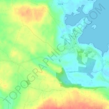
Nom : Carte topographique Killala, altitude, relief.
Altitude moyenne : 21 m
Altitude minimum : -1 m
Altitude maximum : 52 m
Autres cartes topographiques
Cliquez sur une carte pour visualiser sa topographie, son altitude et son relief.


Nephin
In Leabhar Fiachrach, a topographical and genealogical tract written by Giolla Iosa Mor Mac Fhirbhisigh about 1400, the areas early peoples and families are listed thus.
Altitude moyenne : 404 m