
Carte topographique Klyuchevskaya Sopka
Carte interactive
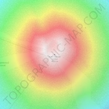
Cliquez sur la carte pour afficher l’altitude.
À propos de cette carte
Nom : Carte topographique Klyuchevskaya Sopka, altitude, relief.
Altitude moyenne : 4’140 m
Altitude minimum : 3’465 m
Altitude maximum : 4’761 m
As early as 27 February 2010, gas plumes had erupted from Klyuchevskaya Sopka (reaching elevations of 7,000 m (22,966 ft)) and during the first week of March 2010, both explosive ash eruptions and effusive lava eruptions occurred until, by 9 March, the ash cloud was reported to have reached an elevation of 6,000 m (19,685 ft). Also, significant thermal anomalies have been reported and gas-steam plumes extended roughly 50 km (31 mi) to the north-east from the volcano on 3 March.