
Carte topographique Gandhinagar
Cliquez sur la carte pour afficher l’altitude.
Gandhinagar
Gandhinagar has an average elevation of 81 metres (266 feet). The city sits on the banks of the Sabarmati River, in north-central-east Gujarat. The 20,543 km2 area around Gandhinagar is defined by Gujarat capital territory. It spans an area of 205 km2 (79 sq mi). The river frequently dries up in the summer, leaving only a small stream of water. Gandhinagar is India's tree capital With 54% green cover on its land area.
À propos de cette carte
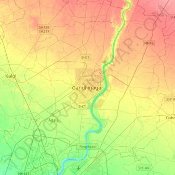
Nom : Carte topographique Gandhinagar, altitude, relief.
Altitude moyenne : 76 m
Altitude minimum : 40 m
Altitude maximum : 111 m