
Carte topographique Charsadda
Carte interactive
Cliquez sur la carte pour afficher l’altitude.
À propos de cette carte
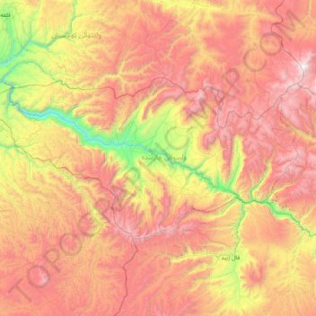
Nom : Carte topographique Charsadda, altitude, relief.
Lieu : Charsadda, Ghor Province, Afghanistan (34.94909 64.70218 35.26106 65.44902)
Altitude moyenne : 2’542 m
Altitude minimum : 1’409 m
Altitude maximum : 3’654 m
Autres cartes topographiques
Cliquez sur une carte pour visualiser sa topographie, son altitude et son relief.
Dahan Qoloni
Afghanistan > Ghor Province > La‘l wa Sar Jangal
Dahan Qoloni, La‘l wa Sar Jangal, Ghor Province, Afghanistan
Altitude moyenne : 2’871 m