
Carte topographique Kaleybar
Carte interactive
Cliquez sur la carte pour afficher l’altitude.
Kaleybar
The relatively well preserved Babak Castle at an altitude of 2300 m is located is located some 3 km of the town. This Sasanid era fortress is named after the ninth century Iranian resistance leader, Babak Khorramdin., who resisted Arab armies until year 839.
À propos de cette carte
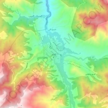
Nom : Carte topographique Kaleybar, altitude, relief.
Altitude moyenne : 1’457 m
Altitude minimum : 946 m
Altitude maximum : 2’208 m