
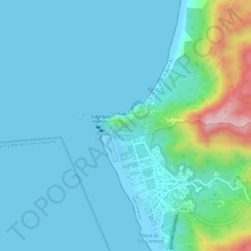
Carte topographique Cerro San Lorenzo
Carte interactive
Cliquez sur la carte pour afficher l’altitude.
À propos de cette carte
Nom : Carte topographique Cerro San Lorenzo, altitude, relief.
Lieu : Cerro San Lorenzo, San Lorenzo, Manta, Manabí, Ecuador (-1.05937 -80.90967 -1.05927 -80.90957)
Altitude moyenne : 40 m
Altitude minimum : -1 m
Altitude maximum : 241 m