
Carte topographique Dadhera
Cliquez sur la carte pour afficher l’altitude.
À propos de cette carte
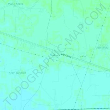
Nom : Carte topographique Dadhera, altitude, relief.
Lieu : Dadhera, Patiala Tahsil, Patiala, Punjab, India (30.33814 76.27310 30.37814 76.31310)
Altitude moyenne : 253 m
Altitude minimum : 250 m
Altitude maximum : 255 m
Autres cartes topographiques
Cliquez sur une carte pour visualiser sa topographie, son altitude et son relief.
Patiala
India > Punjab > Patiala Tahsil
Patiala is located at 30°19′N 76°24′E / 30.32°N 76.40°E / 30.32; 76.40. It has an average elevation of 250 metres (820 feet). During the short existence of PEPSU, Patiala served as its capital city.
Altitude moyenne : 255 m
Patiala
India > Punjab > Patiala Tahsil
Patiala is located at 30°19′N 76°24′E / 30.32°N 76.40°E / 30.32; 76.40. It has an average elevation of 250 metres (820 feet). During the short existence of PEPSU, Patiala served as its capital city.
Altitude moyenne : 255 m