
Carte topographique Shazand
Carte interactive
Cliquez sur la carte pour afficher l’altitude.
À propos de cette carte
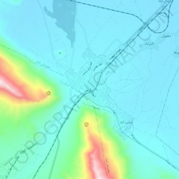
Nom : Carte topographique Shazand, altitude, relief.
Lieu : Shazand, بخش مرکزی, Shazand County, Markazi Province, Iran (33.88932 49.36700 33.96932 49.44700)
Altitude moyenne : 1’997 m
Altitude minimum : 1’865 m
Altitude maximum : 2’799 m