
Carte topographique ولسوالی فیروزکوه
Carte interactive
Cliquez sur la carte pour afficher l’altitude.
À propos de cette carte
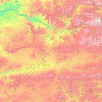
Nom : Carte topographique ولسوالی فیروزکوه, altitude, relief.
Lieu : ولسوالی فیروزکوه, Ghor, Afghanistan (34.12656 64.45393 35.27986 66.14421)
Altitude moyenne : 2’747 m
Altitude minimum : 1’408 m
Altitude maximum : 4’143 m
Autres cartes topographiques
Cliquez sur une carte pour visualiser sa topographie, son altitude et son relief.