

Carte topographique Altamont Pass
Cliquez sur la carte pour afficher l’altitude.
Altamont Pass
Altamont Pass, formerly Livermore Pass, is a low mountain pass in the Diablo Range of Northern California between Livermore in the Livermore Valley and Tracy in the San Joaquin Valley. The name is actually applied to two distinct but nearby crossings of the range. The lower of the two, at an elevation of 741 ft (226 m), carries two railroad rights-of-way (ROWs) and Altamont Pass Road, part of the old Lincoln Highway and the original alignment of US 50 before it was bypassed c. 1937. The bypass route travels over the higher summit, at 1,009 ft (308 m), and now carries Interstate 580, a major regional highway heavily congested by Central Valley suburbanization.
À propos de cette carte
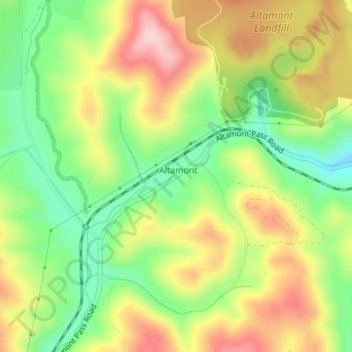
Nom : Carte topographique Altamont Pass, altitude, relief.
Altitude moyenne : 277 m
Altitude minimum : 181 m
Altitude maximum : 385 m