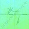
Carte topographique Florence Junction
Cliquez sur la carte pour afficher l’altitude.
À propos de cette carte
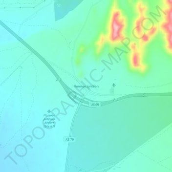
Nom : Carte topographique Florence Junction, altitude, relief.
Lieu : Florence Junction, Pinal County, Arizona, United States (33.23950 -111.35707 33.27950 -111.31707)
Altitude moyenne : 588 m
Altitude minimum : 555 m
Altitude maximum : 728 m
Autres cartes topographiques
Cliquez sur une carte pour visualiser sa topographie, son altitude et son relief.

San Manuel
United States > Arizona > Pinal County
San Manuel is located at 32°36′18″N 110°38′0″W / 32.60500°N 110.63333°W / 32.60500; -110.63333 (32.605048, -110.633340), in the San Pedro River Valley at an elevation of about 3,500 feet (1,100 m). San Manuel is approximately 45 miles (72 km) northeast of Tucson.
Altitude moyenne : 991 m
Kearny
United States > Arizona > Pinal County
Kearny Airport is a general aviation airport located in the southern section of the town. In 2003 it received the Arizona Department of Transportation's Airport of the Year award. The airport has a single asphalt runway, 3,400 feet (1,000 m) in length and 60 feet (18 m) in width, with a field elevation of…
Altitude moyenne : 578 m