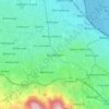
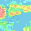
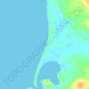
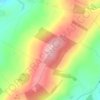
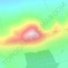
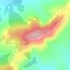
Carte topographique Lough Mask
Cliquez sur la carte pour afficher l’altitude.
À propos de cette carte

Nom : Carte topographique Lough Mask, altitude, relief.
Altitude moyenne : 68 m
Altitude minimum : 13 m
Altitude maximum : 465 m
Autres cartes topographiques
Cliquez sur une carte pour visualiser sa topographie, son altitude et son relief.
Swords
Ireland > County Dublin > Swords
The medieval town developed in a linear pattern along Main Street, in a roughly north-south direction. Swords has one of the best examples of this settlement pattern in the Dublin region. The round tower, 26m in height, is also an indicator of early Christian settlement. The Irish high king Brian Boru is said…
Altitude moyenne : 28 m
















Carrauntoohil
Carrauntoohil is the highest mountain in Ireland on all classification scales. It is the 133rd-highest mountain, and 4th most prominent mountain, in Britain and Ireland, on the Simms classification. Carrauntoohil is regarded by the Scottish Mountaineering Club (SMC) as one of 34 Furths, which are defined as…
Altitude moyenne : 644 m