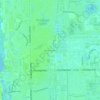
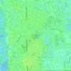
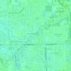
Carte topographique Naples
Cliquez sur la carte pour afficher l’altitude.
Naples
Naples features a predominantly flat and low-lying topography. The city sits at an elevation of approximately 5 to 10 feet above sea level, contributing to its coastal and marshy characteristics. The terrain is mostly characterized by sandy beaches along the Gulf of Mexico, interspersed with wetlands and estuarine areas. Surrounding landscapes include subtropical vegetation, which thrives in the warm, humid climate, while the nearby Big Cypress National Preserve showcases a diverse ecosystem of swamps and pine forests. The region's low relief and proximity to the coast make it susceptible to flooding during heavy rains and hurricanes, influencing both the local environment and urban planning.
À propos de cette carte
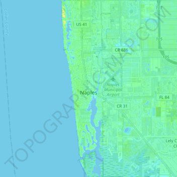
Nom : Carte topographique Naples, altitude, relief.
Lieu : Naples, Collier County, Florida, United States (26.07892 -81.81708 26.21109 -81.76684)
Altitude moyenne : 3 m
Altitude minimum : -1 m
Altitude maximum : 24 m
Autres cartes topographiques
Cliquez sur une carte pour visualiser sa topographie, son altitude et son relief.