
Carte topographique Lord's Wood
Carte interactive
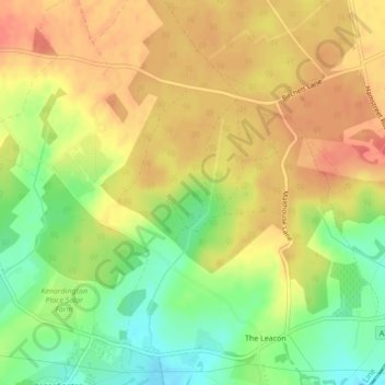
Cliquez sur la carte pour afficher l’altitude.
À propos de cette carte
Nom : Carte topographique Lord's Wood, altitude, relief.
Altitude moyenne : 34 m
Altitude minimum : 2 m
Altitude maximum : 57 m
Autres cartes topographiques
Cliquez sur une carte pour visualiser sa topographie, son altitude et son relief.
Stone Abbage
United Kingdom > England > Ashford > Stone Abbage
Stone Abbage, Pluckley, Ashford, Kent, South East England, England, TN27 0RY, United Kingdom
Altitude moyenne : 47 m
Boughton Lees
United Kingdom > England > Ashford > Boughton Lees
Boughton Lees, Ashford, Kent, South East, England, TN25 4HH, United Kingdom
Altitude moyenne : 79 m
Bonnington
United Kingdom > England > Ashford > Bonnington
Bonnington, Ashford, Kent, South East, England, TN25 7AZ, United Kingdom
Altitude moyenne : 36 m
Great Chart with Singleton
United Kingdom > England > Ashford
Great Chart with Singleton, Ashford, Kent, South East, England, United Kingdom
Altitude moyenne : 45 m
Wales Wood
United Kingdom > England > Ashford
Wales Wood, Soleshill Road, Chilham, Ashford, Kent, South East, England, CT4 8JS, United Kingdom
Altitude moyenne : 82 m
Chilham Castle
United Kingdom > England > Ashford
Chilham Castle, Taylors Hill, Chilham, Ashford, Kent, South East, England, CT4 8DD, United Kingdom
Altitude moyenne : 62 m