
Carte topographique Kankakee
Carte interactive
Cliquez sur la carte pour afficher l’altitude.
À propos de cette carte
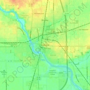
Nom : Carte topographique Kankakee, altitude, relief.
Lieu : Kankakee, Kankakee County, Illinois, 60901, United States (41.08003 -87.90115 41.16003 -87.82115)
Altitude moyenne : 195 m
Altitude minimum : 178 m
Altitude maximum : 214 m
Greater Kankakee Airport covers an area of 950 acres (380 ha) (384 ha) at an elevation of 629 feet (192 m) above mean sea level. It has two runways with asphalt surfaces: 4/22 is 5,981 by 100 feet (1,823 x 30 m) and 16/34 is 4,398 by 75 feet (1,341 x 23 m).