
Carte topographique Rancho Santa Fe
Carte interactive
Cliquez sur la carte pour afficher l’altitude.
À propos de cette carte
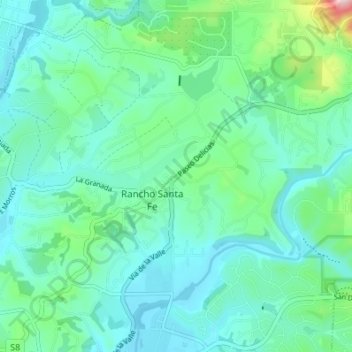
Nom : Carte topographique Rancho Santa Fe, altitude, relief.
Altitude moyenne : 68 m
Altitude minimum : 6 m
Altitude maximum : 331 m
The climate of Rancho Santa Fe is, for the most part, typical of the San Diego metropolitan area though its higher elevation and inland location lends itself to larger temperature variations.