
Carte topographique Iranian plateau
Carte interactive
Cliquez sur la carte pour afficher l’altitude.
Iranian plateau
The Northwestern Iranian plateau, where the Pontic and Taurus Mountains converge, is rugged country with higher elevations, a more severe climate, and greater precipitation than are found on the Anatolian Plateau. The region is known as the Anti-Taurus, and the average elevation of its peaks exceeds 3,000 m. Mount Ararat, at 5,137 meters (16,854 ft) the highest point in Turkey, is located in the Anti-Taurus. Lake Van is situated in the mountains at an elevation of 1,546 meters (5,072 ft).
À propos de cette carte
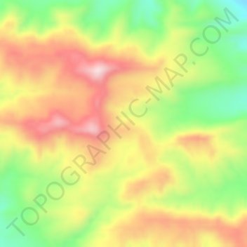
Nom : Carte topographique Iranian plateau, altitude, relief.
Altitude moyenne : 1’061 m
Altitude minimum : 883 m
Altitude maximum : 1’227 m