
Carte topographique Medford Lakes
Carte interactive
Cliquez sur la carte pour afficher l’altitude.
À propos de cette carte
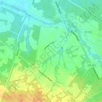
Nom : Carte topographique Medford Lakes, altitude, relief.
Altitude moyenne : 27 m
Altitude minimum : 17 m
Altitude maximum : 40 m
The borough experienced heavy damage on July 12, 2004, during a day which saw 7.26 inches (184 mm) of rain fall over a 14-hour period. The heavy rain caused a series of dam breaks and breaches in the surrounding areas of Southern New Jersey, which have since been replaced. Quogue Dam, as well as both Lower and Upper Aetna Lake Dams failed, with high water levels on portions of Ballinger Run exceeding 500-year flood elevations