
Carte topographique Mount Etna
Carte interactive
Cliquez sur la carte pour afficher l’altitude.
À propos de cette carte
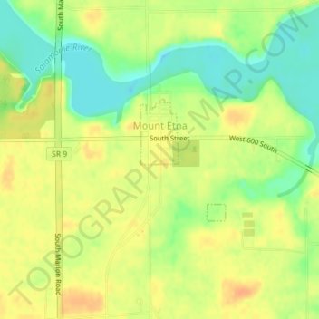
Nom : Carte topographique Mount Etna, altitude, relief.
Lieu : Mount Etna, Huntington County, Indiana, United States (40.73449 -85.56415 40.74478 -85.55461)
Altitude moyenne : 245 m
Altitude minimum : 224 m
Altitude maximum : 260 m
Autres cartes topographiques
Cliquez sur une carte pour visualiser sa topographie, son altitude et son relief.
Andrews
United States > Indiana > Huntington County
Andrews, Huntington County, Indiana, United States
Altitude moyenne : 224 m
Huntington
United States > Indiana > Huntington County > Huntington
Huntington, Huntington County, Indiana, 46750, United States
Altitude moyenne : 238 m
Markle
United States > Indiana > Huntington County > Markle
Markle, Huntington County, Indiana, United States
Altitude moyenne : 244 m