
Carte topographique Poços de Caldas
Carte interactive
Cliquez sur la carte pour afficher l’altitude.
Poços de Caldas
It lies on the boundary of the state of São Paulo at 1186 meters elevation and is the main socio-economic nucleus of its region, having an area of 547 km² (85 km² urban and 459 km² rural) in the municipality.
À propos de cette carte
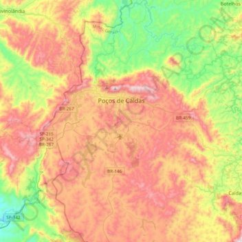
Nom : Carte topographique Poços de Caldas, altitude, relief.
Altitude moyenne : 1’188 m
Altitude minimum : 754 m
Altitude maximum : 1’686 m