Géolocaliser

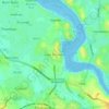
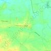
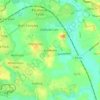
Carte topographique Garstang

Cliquez sur la carte pour afficher l’altitude.

À propos de cette carte

Nom : Carte topographique Garstang, altitude, relief.

Lieu : Garstang, Borough of Wyre, Lancashire, England, United Kingdom (53.89262 -2.79394 53.91382 -2.76443)

Altitude moyenne : 24 m

Altitude minimum : 10 m

Altitude maximum : 59 m

Autres cartes topographiques

Cliquez sur une carte pour visualiser sa topographie, son altitude et son relief.
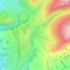
Parlick

United Kingdom > England > Lancashire > Borough of Wyre

Altitude moyenne : 251 m

Calder Vale

United Kingdom > England > Lancashire > Borough of Wyre

Altitude moyenne : 148 m

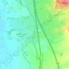
Catterall

United Kingdom > England > Lancashire > Borough of Wyre

Altitude moyenne : 22 m

Inskip

United Kingdom > England > Lancashire > Borough of Wyre

Altitude moyenne : 14 m

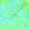
Forton

United Kingdom > England > Lancashire > Borough of Wyre

Altitude moyenne : 30 m

Scorton

United Kingdom > England > Lancashire > Borough of Wyre

Altitude moyenne : 61 m

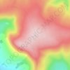
Nicky Nook

United Kingdom > England > Lancashire > Borough of Wyre

Altitude moyenne : 125 m

Oakenclough

United Kingdom > England > Lancashire > Borough of Wyre

Altitude moyenne : 206 m

Hardhorn

United Kingdom > England > Lancashire > Borough of Wyre

Altitude moyenne : 13 m

Thornton

United Kingdom > England > Lancashire > Borough of Wyre

Altitude moyenne : 7 m

Thornton

United Kingdom > England > Lancashire > Borough of Wyre

Altitude moyenne : 7 m

Équipez-vous pour votre prochaine aventure :

🍽️Set de cuisine camping - Ustensiles légers et emboîtables pour optimiser la place dans le sac
🔦Lampe frontale LED - Éclairage mains libres indispensable pour les départs à l'aube
🌍Globes terrestres - Visualisation géographique
📷Appareils photo outdoor - Capture en conditions difficiles
🎒Housse de sac à dos - Protection supplémentaire pour garder vos affaires au sec

En tant que Partenaire Amazon, ce site perçoit une commission sur les achats éligibles sans surcoût pour vous.