
Carte topographique Machhapuchchhre
Carte interactive
Cliquez sur la carte pour afficher l’altitude.
À propos de cette carte
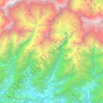
Nom : Carte topographique Machhapuchchhre, altitude, relief.
Lieu : Machhapuchchhre, Kaski, Gandaki Pradesh, Nepal (28.28580 83.82755 28.60540 84.08702)
Altitude moyenne : 3’545 m
Altitude minimum : 979 m
Altitude maximum : 8’019 m
Autres cartes topographiques
Cliquez sur une carte pour visualiser sa topographie, son altitude et son relief.