
Carte topographique Pig's Eye Island Heron Rookery SNA
Carte interactive
Cliquez sur la carte pour afficher l’altitude.
À propos de cette carte
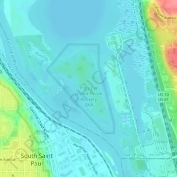
Nom : Carte topographique Pig's Eye Island Heron Rookery SNA, altitude, relief.
Altitude moyenne : 221 m
Altitude minimum : 207 m
Altitude maximum : 287 m