
Carte topographique Rowardennan
Carte interactive
Cliquez sur la carte pour afficher l’altitude.
À propos de cette carte
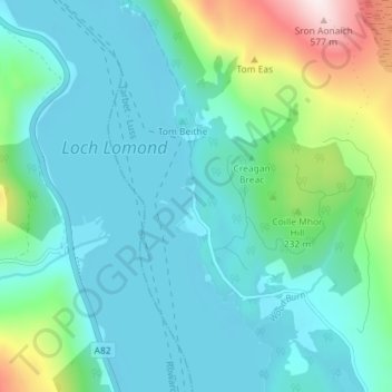
Nom : Carte topographique Rowardennan, altitude, relief.
Lieu : Rowardennan, Stirling, Scotland, G63 0AR, United Kingdom (56.13043 -4.66107 56.17043 -4.62107)
Altitude moyenne : 114 m
Altitude minimum : 2 m
Altitude maximum : 584 m