
Carte topographique Bagrami
Carte interactive
Cliquez sur la carte pour afficher l’altitude.
À propos de cette carte
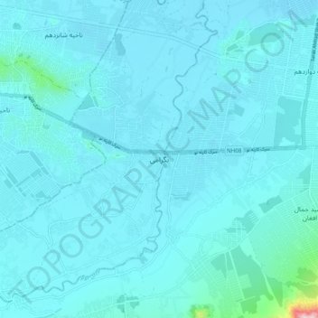
Nom : Carte topographique Bagrami, altitude, relief.
Lieu : Bagrami, Bagrami District, Kabul Province, Afghanistan (34.45385 69.23573 34.53385 69.31573)
Altitude moyenne : 1’801 m
Altitude minimum : 1’777 m
Altitude maximum : 2’159 m
Bagrami is a village situated in the eastern fringes of Kabul at 34°29′28″N 69°16′32″E / 34.4911°N 69.2756°E / 34.4911; 69.2756 and 1797 m altitude, part of municipal District 12 and partly in District 22. The population is 31,680 (2007 calculation). Downtown Kabul can be reached in 30 minutes. The Bagrami Industrial Park is one of the major projects for the economy of the region. In 2010, the town also harboured a shanty town of mud-built huts from refugees escaping the violence of the Taliban insurgency in the southern provinces of Afghanistan.