
Carte topographique Booterstown, Blackrock and Dundrum Parish
Carte interactive
Cliquez sur la carte pour afficher l’altitude.
À propos de cette carte
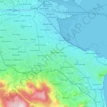
Nom : Carte topographique Booterstown, Blackrock and Dundrum Parish, altitude, relief.
Altitude moyenne : 86 m
Altitude minimum : -2 m
Altitude maximum : 582 m