

Carte topographique Ponderosa Spring Subdivision
Cliquez sur la carte pour afficher l’altitude.
À propos de cette carte
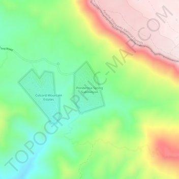
Nom : Carte topographique Ponderosa Spring Subdivision, altitude, relief.
Altitude moyenne : 2’043 m
Altitude minimum : 1’838 m
Altitude maximum : 2’328 m
Autres cartes topographiques
Cliquez sur une carte pour visualiser sa topographie, son altitude et son relief.


Star Valley
United States > Arizona > Gila County
According to the United States Census Bureau, the town has a total area of 36.1 square miles (93.6 km2), of which 0.01 square miles (0.02 km2), or 0.03%, is water. Star Valley sits at an elevation of 4,650 feet (1,420 m) and takes its name from the valley in which it is located, formed by Houston Creek, which…
Altitude moyenne : 1’509 m