
Carte topographique Lumding
Cliquez sur la carte pour afficher l’altitude.
Lumding
Hills of Lumding put the town a notable altitude above the sea level, but summer temperatures can reach up to 40 °C and the winters can be as chilling as 4-5 °C with fog and mist intervening in the early hours of the day. Monsoon is a notable season here, with rainfall around 60–125mm at an average. But its hills and altitude prevents any flooding in the region during heavy monsoon.
À propos de cette carte
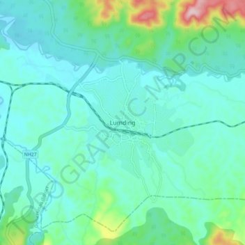
Nom : Carte topographique Lumding, altitude, relief.
Lieu : Lumding, Lanka, Hojai, Assam, 782447, India (25.71354 93.13317 25.79354 93.21317)
Altitude moyenne : 159 m
Altitude minimum : 109 m
Altitude maximum : 388 m