
Carte topographique Blaxton
Cliquez sur la carte pour afficher l’altitude.
Blaxton
Blaxton is a village in the Metropolitan Borough of Doncaster (part of South Yorkshire, England), on the border with Lincolnshire. It lies to the north of Finningley, on the A614 road, and is located at approximately 53° 29' 30" North, 0° 59' West, at an elevation of around 5 metres above sea level. It has a population of 1,179, reducing slightly to 1,162 at the 2011 Census.
À propos de cette carte
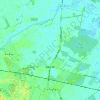
Nom : Carte topographique Blaxton, altitude, relief.
Lieu : Blaxton, Doncaster, South Yorkshire, England, United Kingdom (53.48659 -1.00880 53.52064 -0.93209)
Altitude moyenne : 5 m
Altitude minimum : -2 m
Altitude maximum : 17 m
Autres cartes topographiques
Cliquez sur une carte pour visualiser sa topographie, son altitude et son relief.