Carte topographique Rapar
Cliquez sur la carte pour afficher l’altitude.
Rapar
Rapar (earlier known as Rahpar) is located at 23°34′N 70°38′E / 23.57°N 70.63°E / 23.57; 70.63. It has an average elevation of 79 metres (259 feet). Rapar is the main town in the Vagad Region of the Kutch District and the easternmost town of the Kutch District.
À propos de cette carte
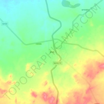
Nom : Carte topographique Rapar, altitude, relief.
Lieu : Rapar, Rapar Taluka, Kachchh, Gujarat, 370165, India (23.41075 70.48505 23.73075 70.80505)
Altitude moyenne : 68 m
Altitude minimum : -1 m
Altitude maximum : 217 m
Autres cartes topographiques
Cliquez sur une carte pour visualiser sa topographie, son altitude et son relief.