
Carte topographique Bushland
Cliquez sur la carte pour afficher l’altitude.
Bushland
Bushland is located at 35°11′31″N 102°03′53″W / 35.19194°N 102.06472°W / 35.19194; -102.06472 (35.1919978, -102.0646392), at an elevation of 3,825 feet. The community is situated along Interstate 40, approximately 14 miles west of Amarillo in southwestern Potter County.
À propos de cette carte
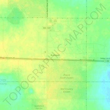
Nom : Carte topographique Bushland, altitude, relief.
Lieu : Bushland, Potter County, Texas, 79012, United States (35.17289 -102.08038 35.21289 -102.04038)
Altitude moyenne : 1’166 m
Altitude minimum : 1’152 m
Altitude maximum : 1’175 m
Autres cartes topographiques
Cliquez sur une carte pour visualiser sa topographie, son altitude et son relief.
Alibates Flint Quarries National Monument
United States > Texas > Potter County
Altitude moyenne : 947 m
Amarillo
United States > Texas > Potter County
Extreme temperatures range from −16 °F (−26.7 °C) on February 12, 1899 to 111 °F (43.9 °C) on June 26, 2011, but lows do not typically dip to 0 °F or −17.8 °C in most years, while highs above 100 °F or 37.8 °C are seen on 4.7 days on average. On average, there are 5.9 days of lows at or below 10…
Altitude moyenne : 1’097 m