
Carte topographique Tenkiller Ferry Lake
Carte interactive
Cliquez sur la carte pour afficher l’altitude.
À propos de cette carte
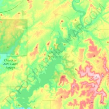
Nom : Carte topographique Tenkiller Ferry Lake, altitude, relief.
Altitude moyenne : 258 m
Altitude minimum : 150 m
Altitude maximum : 448 m
The hydroelectric power station is remotely controlled from the control center at Fort Gibson Lake. Two generators, each rated for 17 megawatts, provide a total capacity of 34 megawatts (MWe). The facility can handle 40 MWe for a short period of time. However, the amount of power that can actually be generated depends heavily on the lake elevation at any given time.