
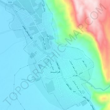
Carte topographique Farashband
Carte interactive
Cliquez sur la carte pour afficher l’altitude.
À propos de cette carte
Nom : Carte topographique Farashband, altitude, relief.
Lieu : Farashband, بخش مرکزی, Farashband County, Fars Province, Iran (28.84229 52.07522 28.87976 52.10970)
Altitude moyenne : 858 m
Altitude minimum : 775 m
Altitude maximum : 1’202 m