
Carte topographique Temple
Carte interactive
Cliquez sur la carte pour afficher l’altitude.
À propos de cette carte
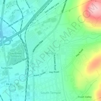
Nom : Carte topographique Temple, altitude, relief.
Altitude moyenne : 126 m
Altitude minimum : 76 m
Altitude maximum : 274 m
Temple is a census-designated place in Muhlenberg Township, Berks County, Pennsylvania, United States at an elevation of 361 feet (110 m). The community was named for a local inn called Solomon's Temple. Temple was an independent borough until it was disincorporated on January 1, 1999. The ZIP code is 19560. As of the 2020 census the population was 2,073 residents.