
Carte topographique Yerupajá
Carte interactive
Cliquez sur la carte pour afficher l’altitude.
Yerupajá
Based on the elevation provided by the available Digital elevation models, SRTM2 (6558m with voids), SRTM filled with ASTER (6551m with voids), TanDEM-X(6110m with voids), Yerupaja is about 6635 meters above sea level. This altitude was considered due to the lack of topographic data or even handheld GPS data.
À propos de cette carte
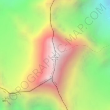
Nom : Carte topographique Yerupajá, altitude, relief.
Lieu : Yerupajá, Pacllón, Province of Bolognesi, Ancash, Peru (-10.26867 -76.90561 -10.26857 -76.90551)
Altitude moyenne : 5’637 m
Altitude minimum : 4’698 m
Altitude maximum : 6’506 m