
Carte topographique Khavaran
Carte interactive
Cliquez sur la carte pour afficher l’altitude.
À propos de cette carte
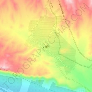
Nom : Carte topographique Khavaran, altitude, relief.
Lieu : Khavaran, بخش خفر, Jahrom County, Fars Province, Iran (28.91783 53.29477 28.95783 53.33477)
Altitude moyenne : 1’380 m
Altitude minimum : 1’220 m
Altitude maximum : 1’515 m