Carte topographique New Albany
Cliquez sur la carte pour afficher l’altitude.
New Albany
New Albany is located in the northeastern Franklin County with a portion extending east into the Licking County. It is northeast of Columbus at an elevation of 1,024 feet (312 m).
À propos de cette carte
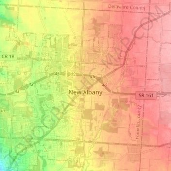
Nom : Carte topographique New Albany, altitude, relief.
Altitude moyenne : 315 m
Altitude minimum : 254 m
Altitude maximum : 354 m
Autres cartes topographiques
Cliquez sur une carte pour visualiser sa topographie, son altitude et son relief.

Columbus
United States > Ohio > Franklin County > Columbus
The confluence of the Scioto and Olentangy rivers is just north-west of Downtown Columbus. Several smaller tributaries course through the Columbus metropolitan area, including Alum Creek, Big Walnut Creek, and Darby Creek. Columbus is considered to have relatively flat topography thanks to a large glacier that…
Altitude moyenne : 255 m