
Carte topographique Midden-Drenthe
Carte interactive
Cliquez sur la carte pour afficher l’altitude.
À propos de cette carte
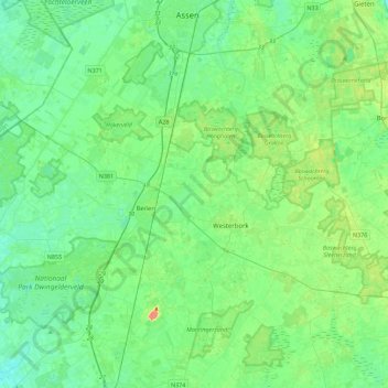
Nom : Carte topographique Midden-Drenthe, altitude, relief.
Lieu : Midden-Drenthe, Drenthe, Pays-Bas (52.73569 6.35954 53.00541 6.72863)
Altitude moyenne : 15 m
Altitude minimum : 3 m
Altitude maximum : 50 m
Autres cartes topographiques
Cliquez sur une carte pour visualiser sa topographie, son altitude et son relief.
Bovensmilde
Pays-Bas > Drenthe > Midden-Drenthe
Bovensmilde, Midden-Drenthe, Drenthe, Pays-Bas
Altitude moyenne : 12 m